没有合适的资源?快使用搜索试试~ 我知道了~
地形道路分析和清单包(GRAIP)办公室程序手册
1.该资源内容由用户上传,如若侵权请联系客服进行举报
2.虚拟产品一经售出概不退款(资源遇到问题,请及时私信上传者)
版权申诉
0 下载量 43 浏览量
2024-05-06
17:26:43
上传
评论
收藏 8.88MB PDF 举报
温馨提示
![preview](https://dl-preview.csdnimg.cn/89272707/0001-74f4e59291bde27da5cce408b23e884b_thumbnail.jpeg)
![preview-icon](https://csdnimg.cn/release/downloadcmsfe/public/img/scale.ab9e0183.png)
试读
149页
地形道路分析和清单包(GRAIP)办公室程序手册
资源推荐
资源详情
资源评论
![pdf](https://img-home.csdnimg.cn/images/20210720083512.png)
![doc](https://img-home.csdnimg.cn/images/20210720083327.png)
![application/msword](https://img-home.csdnimg.cn/images/20210720083327.png)
![pdf](https://img-home.csdnimg.cn/images/20210720083512.png)
![rar](https://img-home.csdnimg.cn/images/20210720083606.png)
![pdf](https://img-home.csdnimg.cn/images/20210720083512.png)
![thumb](https://img-home.csdnimg.cn/images/20210720083646.png)
![zip](https://img-home.csdnimg.cn/images/20210720083736.png)
![pdf](https://img-home.csdnimg.cn/images/20210720083512.png)
![](https://csdnimg.cn/release/download_crawler_static/89272707/bg1.jpg)
United States Department of Agriculture
Forest Service
Rocky Mountain Research Station
Boise Aquatic Sciences Lab
The Geomorphic Road Analysis and
Inventory Package (GRAIP) Office
Procedure Manual
Richard M. Cissel, Thomas A. Black, Kimberly A. T. Schreuders,
Charles H. Luce, Ajay Prasad, Nathan A. Nelson, David G. Tarboton
2011 Edition
![](https://csdnimg.cn/release/download_crawler_static/89272707/bg2.jpg)
![](https://csdnimg.cn/release/download_crawler_static/89272707/bg3.jpg)
THE GEOMORPHIC ROAD ANALYSIS AND INVENTORY
PACKAGE (GRAIP) OFFICE PROCEDURE MANUAL
Richard M. Cissel, Thomas A. Black, Kimberly A. T. Schreuders, Charles H. Luce, Ajay
Prasad, Nathan A. Nelson, David G. Tarboton,
Current as of January 6, 2011
Support
We are interested in feedback. If you find errors, have suggestions, or are interested in
any later versions contact:
David G. Tarboton
Utah State University
4110 Old Main Hill
Logan, UT 84322-4110 USA
Email: dtarb@cc.usu.edu
http://www.neng.usu.edu/cee/faculty/dtarb/
index.html
Tom Black
Rocky Mountain Research Station
322 East Front Street, Suite 401
Boise, Idaho, 83702 USA
Email: tblack@fs.fed.us
http://www.fs.fed.us/GRAIP/index.shtml
Commercial Endorsement Disclaimer
The use of trade, firm, or corporation names in the publication is for the information and
convenience of the reader. Such use does not constitute an official endorsement or
approval by the U.S. Department of Agriculture of any product or service to the exclusion
of others that may be suitable.
![](https://csdnimg.cn/release/download_crawler_static/89272707/bg4.jpg)
Table of Contents
INTRODUCTION: THE GRAIP METHOD ..................................................................... 2
This Manual .................................................................................................................... 2
Road Inventories and the General GRAIP Method ........................................................ 3
The Steps ......................................................................................................................... 5
Necessary Software and ArcMap Toolbars .................................................................... 6
Necessary GIS Skills....................................................................................................... 9
Organizing Your Files..................................................................................................... 9
Tips and Tricks for ArcGIS 9 ....................................................................................... 11
SECTION I: FROM FIELD DATA TO GIS SHAPEFILES ........................................... 15
Transferring Field Data into Pathfinder Office ............................................................. 15
Differential Correction .................................................................................................. 22
Exporting Data as Shapefiles ........................................................................................ 29
SECTION II: PRE-PROCESSING ................................................................................... 34
Preparing the DEM ....................................................................................................... 34
Preprocessing Shapefiles .............................................................................................. 41
Editing Data Errors ....................................................................................................... 48
Straightening Road Lines .............................................................................................. 61
SECTION III: RUNNING THE GRAIP MODEL ........................................................... 72
Running TauDEM ......................................................................................................... 72
Running SINMAP ......................................................................................................... 77
The GRAIP Toolbar Menus .......................................................................................... 87
Preprocessing ................................................................................................................ 90
Road Surface Erosion Analysis .................................................................................... 95
Mass Wasting Potential Analysis................................................................................ 101
Habitat Segmentation Analysis ................................................................................... 119
Appendix A: An Example File Management System ..................................................... 121
Appendix B: More Details About The GRAIP Preprocessor and Toolbar Functions .... 122
GRAIP Preprocessor ................................................................................................... 122
Preprocessor Menu and Associated Functions........................................................... 122
Road Surface Erosion Analysis Menu Functions........................................................ 123
Mass Wasting Potential Analysis Menu and Associated Functions ........................... 125
Habitat Segmentation Analysis Menu Functions ........................................................ 128
Appendix C: Terminology .............................................................................................. 129
GIS Terms ................................................................................................................... 129
GRAIP Terms ............................................................................................................. 130
Appendix D: Attribute Table Field Name Explanations................................................. 133
Appendix E: Examples Of The GRAIP-Created Grids .................................................. 139
Release Notes .................................................................................................................. 143
References ....................................................................................................................... 144
![](https://csdnimg.cn/release/download_crawler_static/89272707/bg5.jpg)
2
INTRODUCTION: THE GRAIP METHOD
This introduction aims to describe, in a general sense, how this manual is
organized and how to use it, what the steps to the data processing portion of a GRAIP
study are, and how to keep the many files involved in this process organized.
Specifically, this introduction will describe what software and ArcMap toolbars you will
need to run the model, and what GIS skills are necessary to have before you begin the
analysis. A section on ArcGIS 9 tips and tricks is also included.
This Manual
This manual is part of a set of documents that describe all steps of a GRAIP
study, from collecting data in the field, to this office analysis manual, to a tutorial that
will give you a better idea of how the model works.
The aim of this manual is to provide a set of fairly specific instructions for all
parts of the office portion of a GRAIP analysis. It is organized in the order in which the
steps are best completed and grouped in sections that contain steps towards a similar
goal. There are three main sections in the manual, organized to reflect the three main
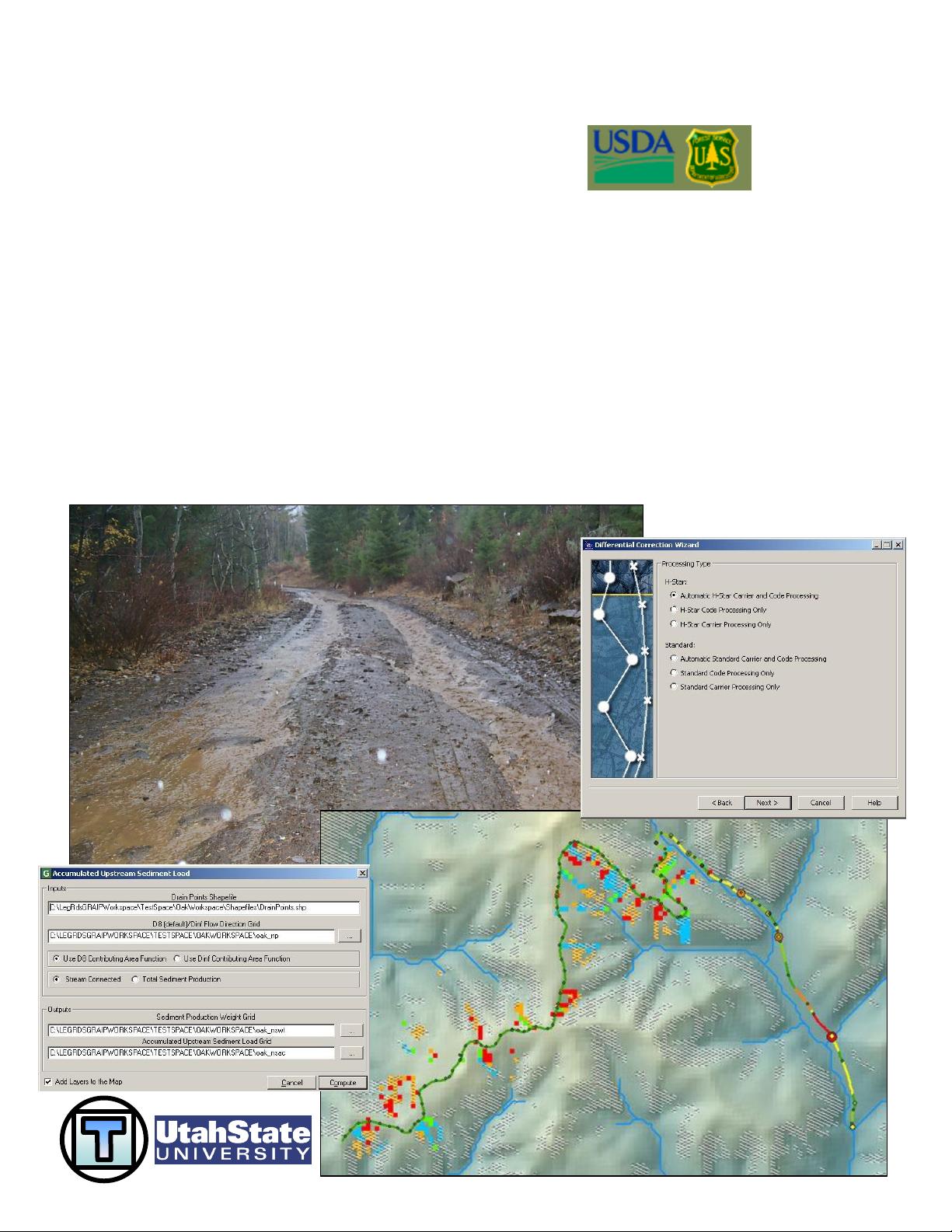
steps of the office analysis, outlined below. Screen shots are included in order to reduce
confusion.
The best approach is to read though all of the section and sub-section
introductions in order to get a complete picture of how the process will progress before
beginning the analysis. Read the entire sub-section before you begin, so you have an idea
of the results and goals of that sub-section.
There are some conventions used in the manual that warrant explanation. Some
terminology definitions are described in Appendix C. Italics indicate the title of an option
in a menu or toolbar (e.g. File and Road Surface Erosion Analysis), a field in a window
or column in an attribute table (e.g. Drain Points Shapefile and SedProd), or a button in a
window inside ArcMap or an associated program (e.g. Add and Compute). An effort has
been made to capitalize the same words that are capitalized in the various menus, titles,
etc. involved in the process. The symbol -> is used to indicate a series of steps that do not
need further explanation (e.g. click This-> click That-> navigate to file X-> click Add,
etc.). Generally, a specific series of steps is only described in detail the first time because
it is assumed that you will be following the steps consecutively. Figures are numbered
and captioned only in the parts of the manual that are not step-by-step because the figures
used to illustrate each step don’t need further clarification. Finally, “dem” is used to
represent the name of a generic DEM so that it is easier to refer to grid files based on the
DEM with new extensions.
This update includes more details on running the model with certain calibrations
(slope stability and gully risk), more details about how the model works (Appendix B),
and some changes to the process to make certain steps easier, faster, or more accurate.
Additionally, the function of the model has changed slightly to no longer include fish
habitat patch information (this feature was time consuming, and its information could be
剩余148页未读,继续阅读
资源评论
![avatar-default](https://csdnimg.cn/release/downloadcmsfe/public/img/lazyLogo2.1882d7f4.png)
![avatar](https://profile-avatar.csdnimg.cn/467688ca2c384571b77593961c3bfd08_jspseo.jpg!1)
wwwarewow
- 粉丝: 4459
- 资源: 2478
![benefits](https://csdnimg.cn/release/downloadcmsfe/public/img/vip-rights-1.c8e153b4.png)
下载权益
![privilege](https://csdnimg.cn/release/downloadcmsfe/public/img/vip-rights-2.ec46750a.png)
C知道特权
![article](https://csdnimg.cn/release/downloadcmsfe/public/img/vip-rights-3.fc5e5fb6.png)
VIP文章
![course-privilege](https://csdnimg.cn/release/downloadcmsfe/public/img/vip-rights-4.320a6894.png)
课程特权
![rights](https://csdnimg.cn/release/downloadcmsfe/public/img/vip-rights-icon.fe0226a8.png)
开通VIP
上传资源 快速赚钱
我的内容管理 展开
我的资源 快来上传第一个资源
我的收益
登录查看自己的收益我的积分 登录查看自己的积分
我的C币 登录后查看C币余额
我的收藏
我的下载
下载帮助
![voice](https://csdnimg.cn/release/downloadcmsfe/public/img/voice.245cc511.png)
![center-task](https://csdnimg.cn/release/downloadcmsfe/public/img/center-task.c2eda91a.png)
安全验证
文档复制为VIP权益,开通VIP直接复制
![dialog-icon](https://csdnimg.cn/release/downloadcmsfe/public/img/green-success.6a4acb44.png)