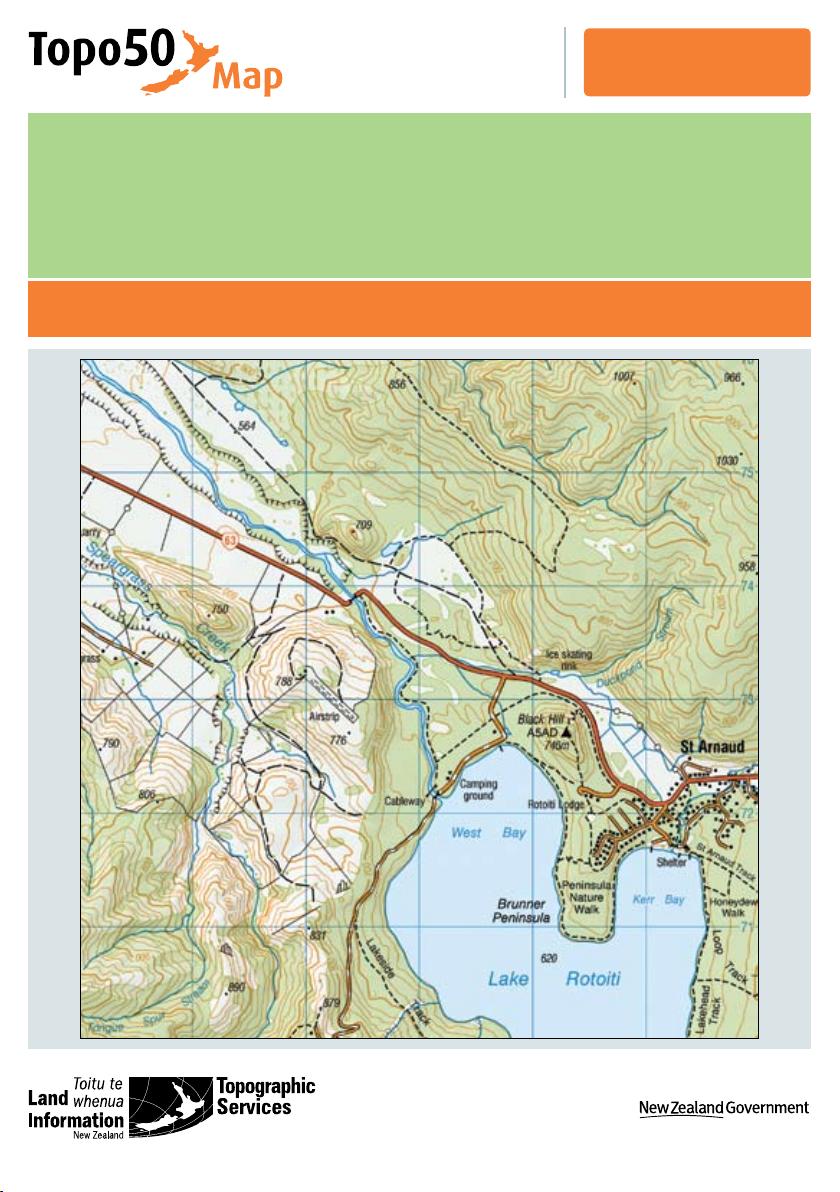
1
Topo50 Map Reading Guide
CONTENTS
Who makes topographic maps? ........................................................................................................................2
What is a topographic map?...............................................................................................................................2
Creating a map ......................................................................................................................................................3
Geodetic datums ...................................................................................................................................3
Map projections ....................................................................................................................................4
The parts of a Topo50 map ..................................................................................................................................5
Cover and back panel ...........................................................................................................................6
Datum and projection information panel ..........................................................................................7
How to read a Topo50 map ..................................................................................................................................8
Map scale ...............................................................................................................................................8
Distance ................................................................................................................................................10
Directions .............................................................................................................................................10
Bearings ...............................................................................................................................................11
Map symbols (the legend) .................................................................................................................12
Contour lines ........................................................................................................................................13
Relief shading ......................................................................................................................................14
Map coordinates .................................................................................................................................15
Geographical coordinates - latitude and longitude ......................................................................15
Grid coordinates - eastings and northings .....................................................................................16
How to quote a grid reference for a particular point ....................................................................17
Planning a trip .....................................................................................................................................................19
Using a GPS .........................................................................................................................................................19
Using GPS with a map ........................................................................................................................20
The magnetic compass......................................................................................................................................21
Compass errors ...................................................................................................................................21
Features of a compass .......................................................................................................................22
Using your compass to reach a destination ...................................................................................22
Conversion of bearings ......................................................................................................................24
Simple uses of a map .........................................................................................................................................24
Orienting a map ...................................................................................................................................24
Finding your present position............................................................................................................25
Setting a course ..................................................................................................................................26
Glossary................................................................................................................................................................28