


The ETo Calculator
Evapotranspiration
from a reference surface
Reference Manual
Version 3.2
September, 2012
Dirk Raes
Food and Agriculture Organization of the United Nations
Land and Water Division
FAO, Via delle Terme di Caracalla, 00153 Rome, Italy
dirk.raes@ees.kuleuven.be

Reference Manual - ETo calculator (Version 3.2, September 2012) 1
Table of Contents
Page
1. Reference evapotranspiration (ETo) 3
2. Menu Reference 4
2.1 Hierarchical structure of the menus 4
2.2 Main menu 5
2.3 Data base management
- Path
- Create a new file
- Select a data file
- Type of data files (*.DSC and *.DTA files)
6
6
6
7
7
2.4 Importing climatic data from text files
- Free format text files with climatic data (*.CXT)
- FAO Clim 2.0 exported files (*.DAT)
- CLIMWAT 2.0 files (*.PEN)
- Status report
7
8
11
11
11
2.5 Information concerning the selected climatic station
- Meteorological data
- Station characteristics
- Data range
- Data limits
12
12
12
12
2.6 Meteorological data and ETo calculation
- Calculation method
- Input data description
- Meteorological data and ETo
- Plot data
- Export results
14
14
14
15
15
17
3. Calculation procedures 18
3.1 Atmospheric parameters
- Atmospheric pressure (P)
- Psychrometric constant (γ)
18
18
18
3.2 Air temperature
- Mean air temperature (T
mean
)
- Calculation rules
18
18
19

Reference Manual - ETo calculator (Version 3.2, September 2012) 2
3.3 Air humidity
- Saturation vapour pressure as a function of air temperature (e°(T))
- Mean saturation vapour pressure for a day, 10-day, or month (e
s
)
- Slope of saturation vapour pressure curve (∆)
- Actual vapour pressure (e
a
) derived from dewpoint temperature
- Actual vapour pressure (e
a
) derived from psychrometric data
- Actual vapour pressure (e
a
) derived from relative humidity data
- Vapour pressure deficit (e
s
- e
a
)
- Calculation rules
19
19
19
20
20
20
20
21
21
3.4 Radiation
- Extraterrestrial radiation (R
a
)
- Daylight hours (N)
- Solar radiation (R
s
)
- Clear-sky solar radiation (R
so
)
- Net solar or net shortwave radiation (R
ns
)
- Net longwave radiation (R
nl
)
- Net radiation (R
n
)
- Calculation rules
22
22
23
23
23
24
24
25
25
3.5 Wind speed
- Adjustment of wind speed to standard height
- Missing wind speed data
25
25
26
3.6 Reference evapotranspiration (FAO Penman-Monteith)
26
3.7 Conversion to standard metric unit 27
References 28
Annexes
1. The ETo calculator software 29
2.
Data files
- DSC file (description)
- DTA file (meteorological data)
30
30
32
3.
Code for climatic parameters 33
4. FAO Clim 2 file (*.DAT file) 35
5. CLIMWAT 2 file (*.PEN file) 36
6. Exported AquaCrop files 37

Reference Manual - ETo calculator (Version 3.2, September 2012) 3
Chapter 1.
Reference evapotranspiration (ET
o
)
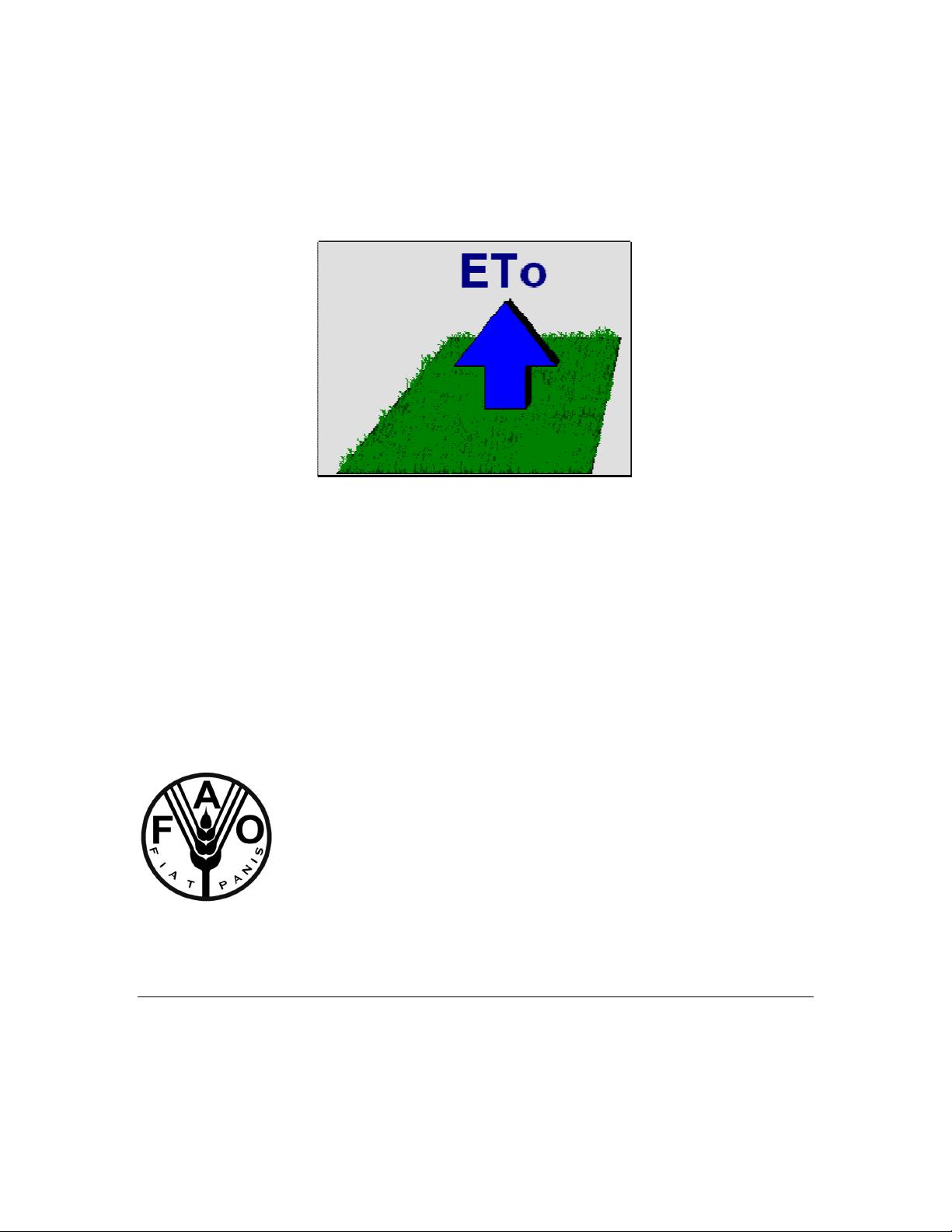
Evapotranspiration is the combination of soil evaporation and crop transpiration. Weather
parameters, crop characteristics, management and environmental aspects affect
evapotranspiration. The evapotranspiration rate from a reference surface is called the
reference evapotranspiration and is denoted as ET
o
. A large uniform grass (or alfalfa)
field is considered worldwide as the reference surface. The reference grass crop
completely covers the soil, is kept short, well watered and is actively growing under
optimal agronomic conditions (Fig. 1).
The concept of the reference evapotranspiration was introduced to study the evaporative
demand of the atmosphere independently of crop type, crop development and
management practices. As water is abundantly available at the reference evapotranspiring
surface, soil factors do not affect ET
o
. Relating evapotranspiration to a specific surface
provides a reference to which evapotranspiration from other surfaces can be related. ET
o
values measured or calculated at different locations or in different seasons are
comparable as they refer to the evapotranspiration from the same reference surface. The
only factors affecting ET
o
are climatic parameters. Consequently, ET
o
is a climatic
parameter and can be computed from weather data. ET
o
expresses the evaporating power
of the atmosphere at a specific location and time of the year and does not consider the
crop characteristics and soil factors (Allen et al., 1998).
climate
Radiation
Temperature
Wind speed
Humidity
ETo
+
=
reference
surface
actively growing
under optimal conditions
Figure 1.
Reference evapotranspiration (ETo)
Owing to the difficulty of obtaining accurate field measurements, ET
o
is commonly
computed from weather data. A large number of empirical or semi-empirical equations
have been developed for assessing reference evapotranspiration from meteorological
data. Numerous researchers have analysed the performance of the various calculation
methods for different locations. As a result of an Expert Consultation held in May 1990,
the FAO Penman-Monteith method is now recommended as the standard method for the
definition and computation of the reference evapotranspiration ET
o
.

Reference Manual - ETo calculator (Version 3.2, September 2012) 4
Chapter 2.
Menu Reference
2.1 Hierarchical structure of the menus
From the Main menu the user has access to the various menus of the program. The
hierarchical structure of the menus is plotted in Figure 2.
Main menu
Path menu
Select station menu
Data base management
Path
Select a data file
Create a new file
Selected climatic station
Station characteristics
Data range
ETo calculation
ETo calculator
Data Limits
Create menu
Create
Import climatic data from file
Meteorological data
Data import menu
Update Station characteristics
menu
Update range menu
Meteorological data limits menu
Meteorological data
menu
- Calculation methods and coefficients
- Input data description
- Meteorological data and ETo
- Plot data
- Export results
Data and ETo menu
Plot menu
Report menu
Figure 2.
Hierarchical structure of the menus


- 1
- 2
前往页