pci软件处理SPOT6卫星数据流程
需积分: 25 51 浏览量
2015-06-17
16:39:32
上传
评论 1
收藏 1.83MB PDF 举报

Page | 1
Geomatica OrthoEngine
Orthorectifying SPOT6 data
On September 9, 2012, SPOT 6 was launched adding to the constellation of Earth-
imaging satellites designed to provide 1.5m high-resolution data. The architecture of SPOT 6 is
similar to that of the Pleiades satellites, both orbiting at an altitude of 694km. SPOT 6 has an
imaging swath of 60kms and is suited for mapping, surveillance and monitoring.
The following is a brief tutorial showing a step by step procedure for pansharpening and
orthorectifying SPOT 6 imagery using Geomatica OrthoEngine 2013.
Initial Project Setup
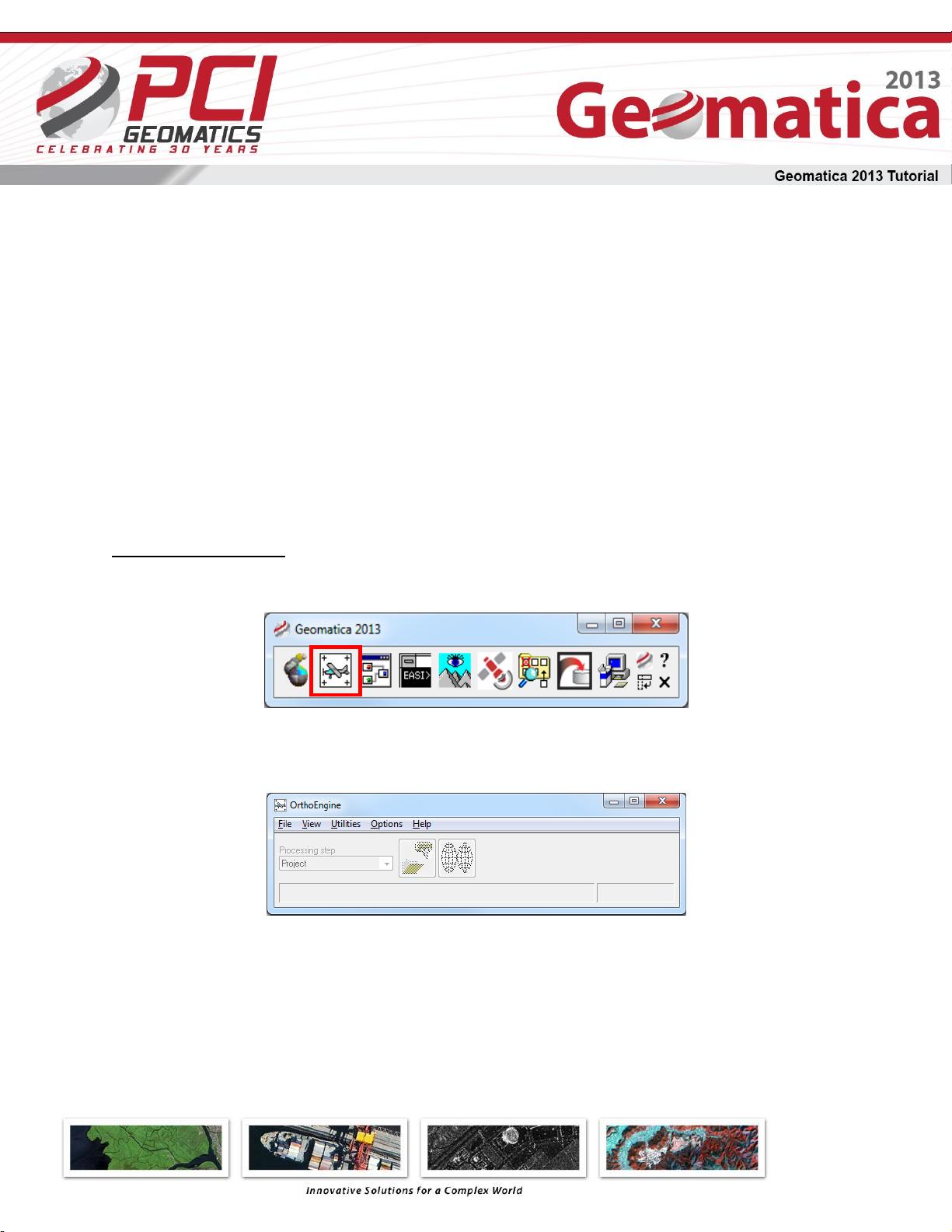
1. Open the Geomatica 2013 OrthoEngine application
2. In OrthoEngine
a. Click File > New
3. Give your project a Filename, Name and Description
a. Select Optical Satellite Modeling as the Math Modeling Method
Select Rational Function (Extract from image) under Options. The Rational Function
Method (RFM) has been the most popular geometric correction method in
orthorectifying high resolution images. This method uses the RPCs provided with the
satellite data to perform orthorectification. At this point Toutin’s Model can also be
资源评论


